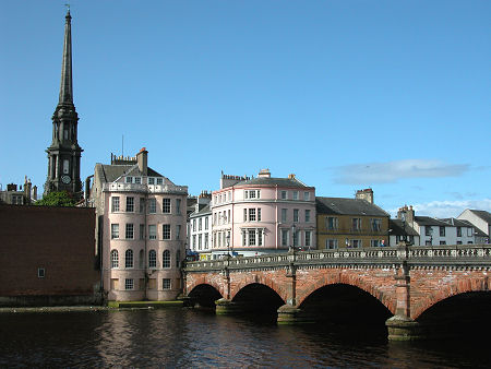
 Ayr, in Ayrshire until 1975 |
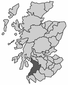
Ayrshire was one of the 34 traditional counties into which Scotland was divided for administrative purposes. It lay on the shore of the Firth of Clyde and included Girvan and Maybole in the south, Cumnock in the east, Largs in the north, and the central settlements of Ayr, Kilmarnock, Troon and Irvine. The county town was Ayr. For accommodation in Ayrshire and a full list of features, see our Ayrshire area pages.
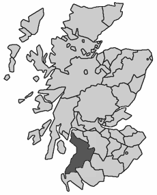
 Ayrshire, 1890 to 1975 Note About Image Copyright |
Ayrshire was bordered by Renfrewshire, Lanarkshire, Dumfriesshire, Kirkcudbrightshire and Wigtownshire. A tidying up of the map of counties which reduced their number to 33 in 1890 had no effect on Ayrshire, which as a result remained a county in its own right until reorganisation in 1975 swept all the counties away in favour of 12 regions.
The regions formed in 1975 were the upper tier of a two tier local authority system, and the area which had formed Ayrshire became part of the region of Strathclyde. Most regions were divided into a number of district council areas, and Strathclyde was divided into no fewer than 19 of them.
These were grouped into six sub-regions, mostly based on the traditional counties which had become part of Strathclyde. Ayrshire therefore became the Ayr sub-region of Strathclyde, and was divided into four district council areas: Cumnock & Doon Valley, Cunninghame, Kilmarnock & Loudoun and Kyle & Carrick.
The only change to the old boundaries was the inclusion in Cunninghame of the Isle of Arran which had formed part of the traditional County of Bute, and so been outside Ayrshire.
Regions and districts disappeared from the scene in a major reorganisation in 1996, being replaced by 32 unitary council areas. What had started out as the traditional county of Ayrshire is today divided between North Ayrshire, East Ayrshire and South Ayrshire: the only major difference in their coverage compared with the old Ayrshire is that North Ayrshire like Cunninghame before it, includes the Isle of Arran.

